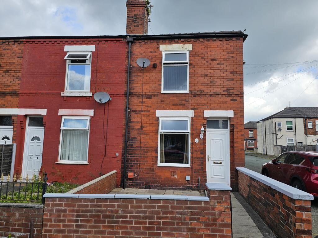
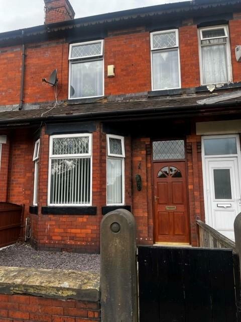
Property Information Report
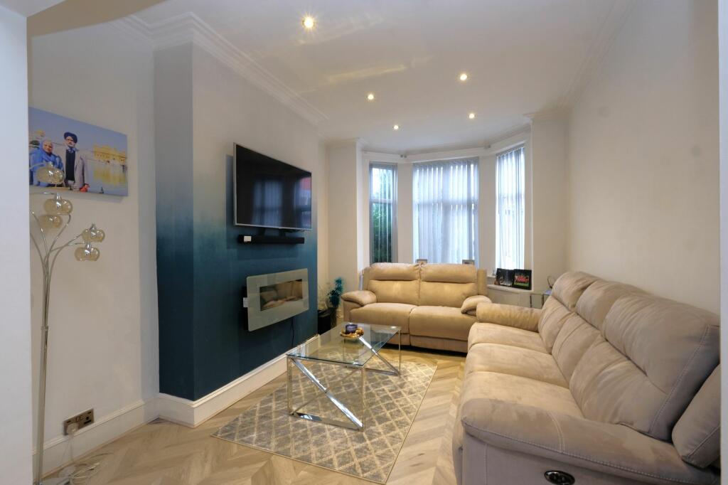
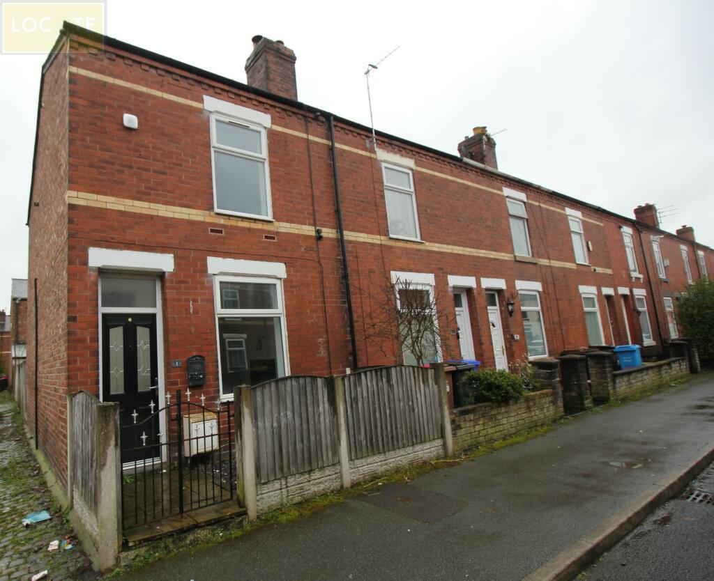
24 Helen Street
Eccles, Manchester, M30 7DN
Estimated Value - £180,000
Estimated Rental Value - £1,050 PCM
Last Sold - Feb, 2020

Key Facts
About Us

About Us
Passionate about what we do. Here to serve the people of Salford and Greater Manchester and dedicated to helping you find your perfect home. Meet the multi-award winning team of property professionals at Hills.
Generate a full report on your own property including an instant estimated valuation.
Title Plan
 Contains OS data © Crown copyright 2024
Title Information
Details provided by the Land Registry
- Title Number
- GM121462
- Plot Size
- 0.02 acres (98 sq metres)
Street View
House Prices in Salford
Last 12 months
-
Average Price Change
£10,859
Increased by 5%
-
Terraced Price Change
£7,810
Increased by 4%
Average House Prices
Last 12 months for all property types.
Since Last Sale - 26th February 2020
-
Average Price Change
£69,744
Increased by 41%
-
Terraced Price Change
£65,146
Increased by 43%
Average House Prices
Since last sale in 2020 for all property types
EPC

EPC Information
Details taken from the EPC register
- Date
- 2021-01-26
- Valid Until
- 2031-01-25
- Energy Efficiency - Current
- 66
- Energy Efficiency - Potential
- 87
- Environmental Impact - Current
- 62
- Environmental Impact - Potential
- 86
Hills Salfords Estate Agents
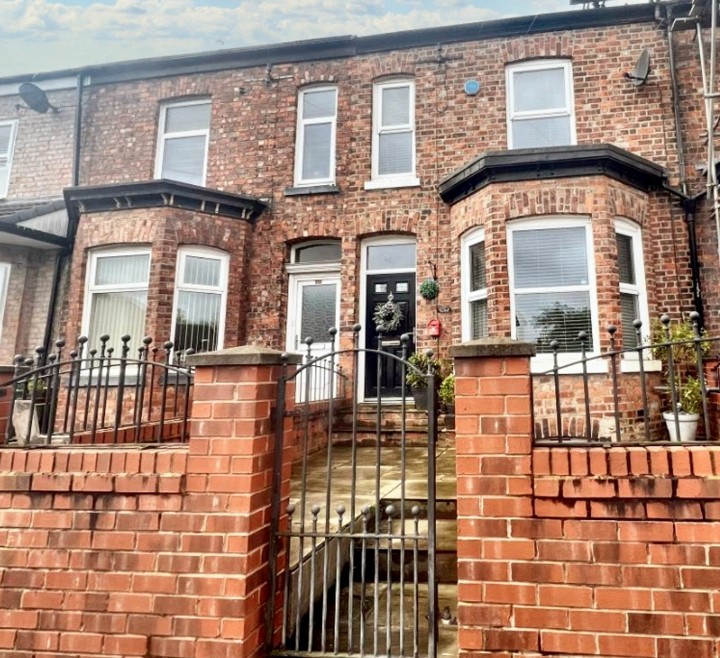
Properties For Sale in the Area
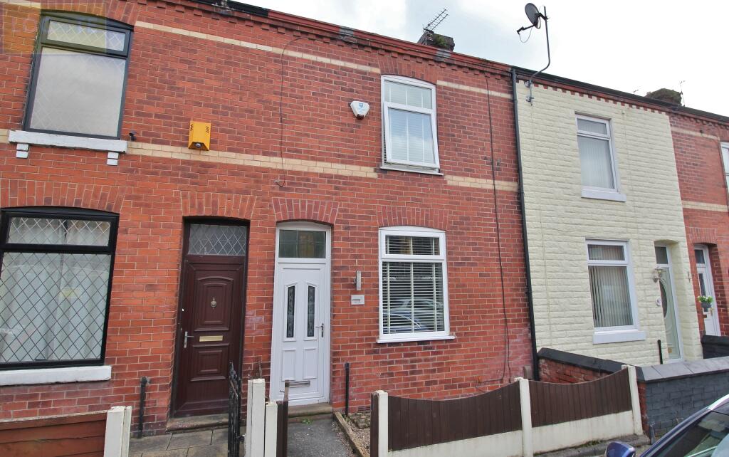
Thorp Street
52 metres away
Unicorn Street Eccles
57 metres away
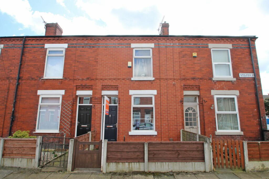
Stelfox Street
61 metres away
Harrison Street
66 metres away
Tindall Street
81 metres away
Peel Green Road
0.12 km away
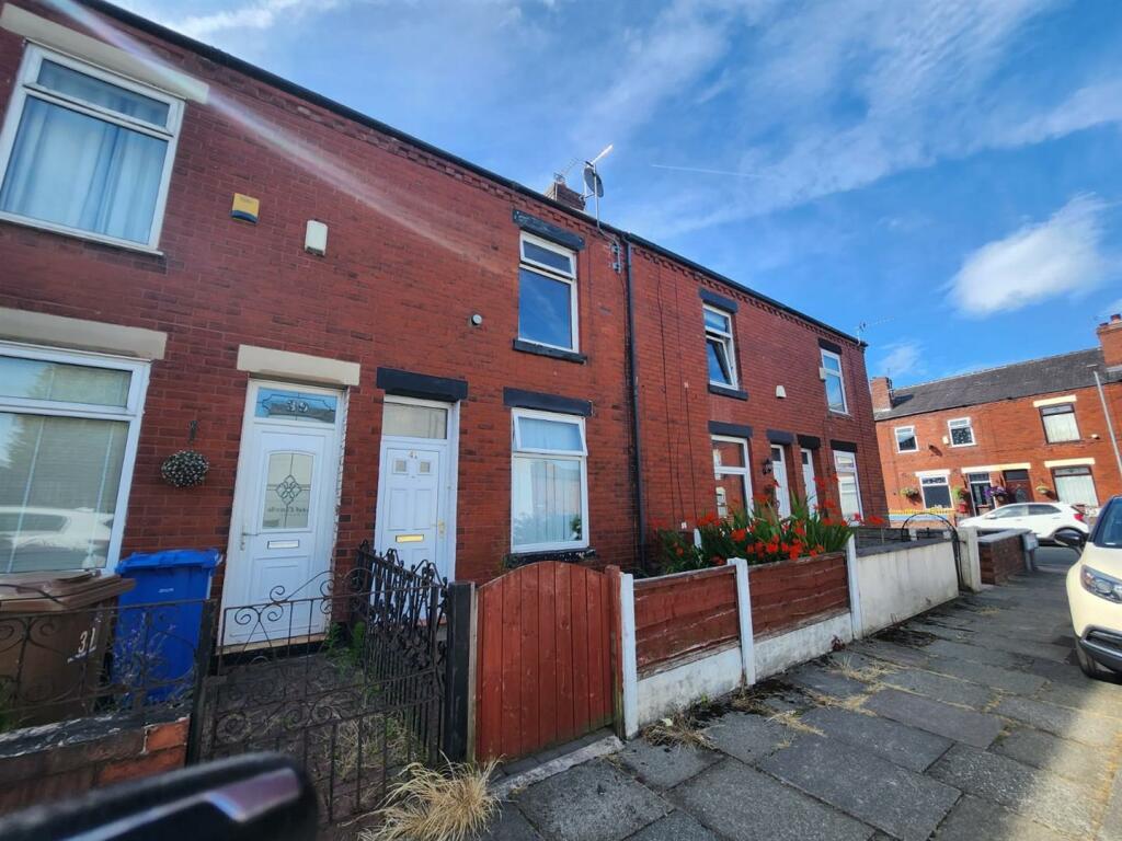
Properties To Let in the Area
Helen Street
Stelfox Street
58 metres away

Room 1
0.42 km away

Liverpool Road
0.42 km away
New Lane
0.43 km away
Henty Close
0.51 km away
Schools
| Name | Type | Postcode | Distance | Rating |
|---|---|---|---|---|
| Beech Street Community Primary School | Nursery, Primary | M30 8GB | 0.58 km | Good |
| Godfrey Ermen Memorial CofE Primary School | Nursery, Primary | M30 7BJ | 0.59 km | Not rated |
| Barton Moss Community Primary School | Nursery, Primary | M30 7PT | 0.76 km | Good |
| Salford City Academy | Secondary | M30 7PQ | 0.76 km | Good |
| St Patrick's RC High School | Secondary | M30 7JJ | 0.79 km | Good |
Transport
Bus Stops & Stations
Details provided by Department for Transport
| Name | Distance |
|---|---|
| Unicorn Street | 0.11 km |
| Harrison Street | 0.12 km |
| Peel Green Road | 0.12 km |
| Schofield Road | 0.17 km |
| Beech Street | 0.38 km |
Train Stations
Details provided by Department for Transport
| Name | Distance |
|---|---|
| Patricroft Rail Station | 1.20 km |
| Eccles Rail Station | 2.50 km |
| Urmston Rail Station | 3.26 km |
| Chassen Road Rail Station | 3.35 km |
| Flixton Rail Station | 3.72 km |
Nearest Motorway
Details provided by Department for Transport
| Name | Distance |
|---|---|
| M60 | 0.31 km |
Coverage
- Average Broadband Speed:
-
3mb Basic
-
67mb Superfast
-
1000mb Ultrafast
-
1000mb Overall
- Mobile Coverage:
-
EEGood
-
O2Good
-
ThreeGood
-
VodafoneOkay
Recently Sold Properties in the Area
| Address | Property Type | Distance | Price | Completed |
|---|---|---|---|---|
|
6 Stelfox Street Eccles, Manchester, M30 7DH |
Terraced | 56 metres away | £110,000 | 8 months ago |
|
34 Thorp Street Eccles, Manchester, M30 7DJ |
Terraced | 65 metres away | £164,000 | 11 months ago |
|
6 Thorp Street Eccles, Manchester, M30 7DJ |
Terraced | 67 metres away | £175,500 | 10 months ago |
|
619 Liverpool Road Eccles, Manchester, M30 7BY |
Other | 97 metres away | £960,000 | 11 months ago |
|
6 Tindall Street Eccles, Manchester, M30 7DF |
Terraced | 0.11 km away | £151,800 | 7 months ago |
|
6 Tindall Street Eccles, Manchester, M30 7DF |
Terraced | 0.11 km away | £151,800 | 7 months ago |
|
7 Tindall Street Eccles, Manchester, M30 7DF |
Terraced | 0.12 km away | £172,500 | 7 months ago |
|
648 Liverpool Road Eccles, Manchester, M30 7NA |
Terraced | 0.13 km away | £170,000 | 8 months ago |
|
650 Liverpool Road Eccles, Manchester, M30 7NA |
Terraced | 0.13 km away | £111,000 | 10 months ago |
|
7 Gorton Street Eccles, Manchester, M30 7LZ |
Terraced | 0.17 km away | £180,000 | 5 months ago |
Important Notice - This report is intended for general informational purposes only and should act only as a guide. The report is produced automatically on behalf of Hills - Hills by Street Insights, a product of Street Systems Ltd. Street Systems maintains and aggregates data from multiple public data sources and whilst every effort is made to keep information up to date and accurate, we make no representations or warranties of any kind about the accuracy, reliability or completeness of the information contained within this report for any purpose. Any reliance you place on the data contained within this report is strictly at your own risk. In no event will Hills - Hills or Street Systems Ltd be liable for any loss or damage including without limitation, indirect or consequential loss or damage, or any loss or damage whatsoever arising from loss of data or profits arising out of, or in connection with, the use of this report.
This report contains public sector information licensed under the Open Government License v3.0
Transaction data and HPI data is produced by HM Land Registry. Crown copyright and database rights 2024